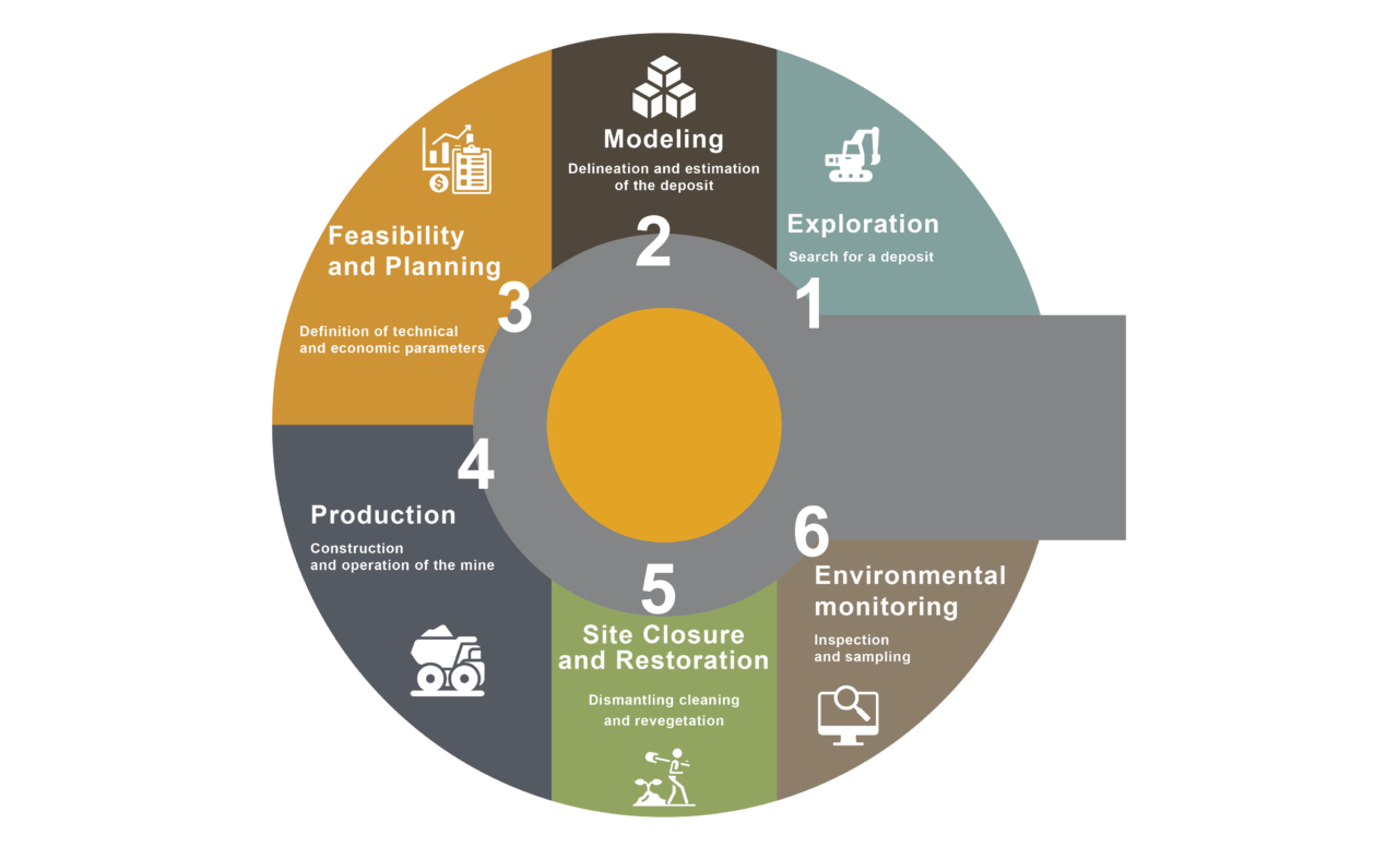
LEADERTECH-SOLUTIONS provides its customers with a Digital Mining Information System (DMIS) which is a powerful, robust digital platform that makes it possible to represent and process all categories of mining data in record time.
The platform offers all the possibilities of databases such as queries and statistical analysis through the visualization and geographical analysis of maps.
This ecosystem also allows, on the one hand, the improvement of the quality of mining data and, on the other hand, the optimization of the internal functioning of the user organization, particularly in terms of production and functional performance, particularly in terms of organization, business planning, workload reduction, performance, expenditure control, and human resources management, etc.
The platform provides the following functions:
- Capture and digitization of data from the geographical and alphanumeric layers (assignees) using scanner technology.
- Cartographic representation of attribute data and visualization of maps with the possibility of integrating reports, 3D views; photographic images and all kinds of multimedia elements.
- Data manipulation:
- Attribute queries and selection of geographic objects based on criteria on attribute data.
- Spatial queries and selection of geographic objects based on their locations relative to other graphical objects (in two different layers).
- Spatial analysis, creation of buffer zones, crossing between two layers and calculations of areas.
This Ecosystem is associated with a panel of Quantum GIS tools (MapInfo) such as:
- A geophysical tool for the detection and geophysical exploration of the subsurface.
- A remote sensing tool to obtain images describing portions of the surface.
- A geostatistical tool to produce forecast surfaces and obtain an accurate measurement;
- A topography tool for better geometric representation and the establishment of digital models in the form of images drawn at a precise scale.
- A geological modelling tool for the creation of dynamic 3d geological models to facilitate the assessment of soil stability, hydrogeology and exploration targets;
- An economic modelling tool for maximizing the economic benefits of mining projects.
- A file management tool: file creation, monitoring and governance of files.
- A financial management tool: accounting, auditing and budget monitoring.
- A commercial management tool: invoicing, cash register, inventory management & material orders.
- A tool for managing human resources and performance: scoring, payroll, career, training, motivation…
- A production management tool: management and planning of activities;
- A tool for managing computer parks: mining materials, equipment, tools, IT…
- A Business Intelligence tool: dashboards, performance indicators, use of statistics and data exports;
- An electronic document management (EDM) tool;
- Transversal modules: Settings, Authorizations, Desktop Management, Backup, Data Security and Messaging;
- Internal portal;
- External portal.